WalkLakes
Written on 05/06/19
by Paul Oldham
Yet Another Release of Mapping
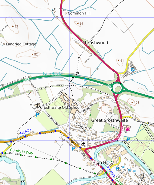
We've just put online a new release of our map tiles. We do new releases regularly, not least to pick up any changes in the data coming from OpenStreetMap and the latest updates from Ordnance Survey's OpenData programme.
This release also includes a number of changes, some resulting in feedback from users after our last release. These are:
- Stiles and gates are now shown as S and G rather than icons, echoing the style that kissing gates (K) used before.
- Contour labels are now larger.
- We have reduced the size and changed the colour of the P icons for parking indicators and also reduced the number shown where there are several clustered together in one area.
- We have made the crosses used to mark places of worship less bold.
- We have reduced the size of the hospital marker.
- We have increase the text size of some place labels.
You can see most of these by moving the slider right to expose more of the old tiles of the area north of Keswick.


These tiles are live so if you're using our tile server you will be seeing the updated tiles now.
You can comment on this post in our forum.
WalkLakes recognises that hill walking, or walking in the mountains, is an activity with a danger of personal injury or death.
Participants in these activities should be aware of and accept these risks and be responsible for their own actions.
Participants in these activities should be aware of and accept these risks and be responsible for their own actions.